Rocks aren’t placed by magic; it takes lots of hands and strong backs to make rock steps.
Volunteers build stone steps at Gulf Hagas using pry bars, shovels, grip hoist and pick axes.

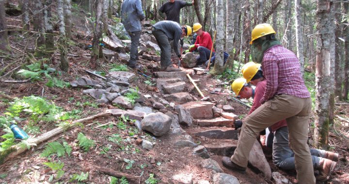
Rocks aren’t placed by magic; it takes lots of hands and strong backs to make rock steps.
Volunteers build stone steps at Gulf Hagas using pry bars, shovels, grip hoist and pick axes.

Show your support for MATC by proudly wearing and displaying official clothing and accessories emblazoned with the MATC logo. Check out the variety of MATC branded items at our “Trading Post” – on-line store.
MATC has partnered with Spreadshirt to provide MATC branded clothing and accessories to members and supporters of the Maine Appalachian Trail Club. Items are available in a variety of styles and colors.




MATC is a non-profit, 501c3 charitable organization and does not make any profit on these items. Spreadshirt is a third-party, affiliated vendor who handles all sales and questions regarding their products.

Regarding the Saddleback Ski Area Solar Project
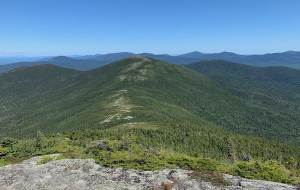
We encourage the owners of the Saddleback Ski Area (Arctaris Impact Fund) to move the location of its proposed grid-scale solar power generating facility to a location that would not impact the views from the Appalachian Trail (A.T.) on Saddleback Mountain. At just over three miles away, the proposed 35-acre solar array would become the dominant feature on the landscape view looking north from the A.T.
Other than Katahdin, Saddleback offers the longest open ridge walk along the A.T. in Maine and about 1.5 miles of this section would have frequent views of the solar development. Given the facility’s high contrast and reflective panels tilted towards the mountain, the array would draw visitors eyes towards them and create a negative impact on what is now a natural view of lakes, forests and mountains.
Saddleback Ski’s stated objectives to move off fossil fuel and source with 100% solar electricity are admirable. We believe Saddleback Ski can reduce its carbon footprint and lower its electricity costs through a less impactful alternative:
The Maine Appalachian Trail Club (MATC) and the Appalachian Trail Conservancy (ATC) hold the position that development must be balanced against the recreational, scenic, natural and cultural resources of the Appalachian Trail (A.T.). As stewards of the A.T. in Maine, part of MATC’s mission is to preserve the scenic integrity and minimize development impacts adjacent to the A.T.
Both the ATC and MATC support Saddleback Ski moving to 100% solar-sourced electricity and encourage them to seek alternatives that would have less impact on the views for the visitors to the Appalachian Trail and Saddleback Mountain.


ILLEGAL FIRE RINGS: In Maine, campfires in the woods require a fire permit or a permitted campsite to be legal. WIth the dry conditions this Fall, non-permitted campfires along the A.T. are especially concerning. A frequent task for maintainers is to dismantle and disperse fire rings which not only encourage more camp fires in inappropriate locations but also encourage trash accumulation. This particular fire ring just north of Orbeton Stream has been dismantled four times this season.
Photo by @Tony Barrett
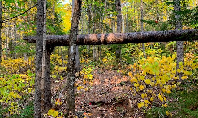
4-ft X 6-ft: Trail maintainers are tasked with keeping a 4 X 8 foot corridor along the tread way for clear hiker passage. “One should be able to carry a 4X8’ sheet of plywood upright through the woods”. That standard is a high bar to meet in some places.
Photo by Tony Barrett

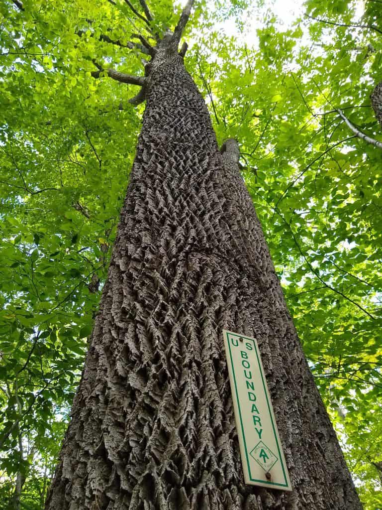
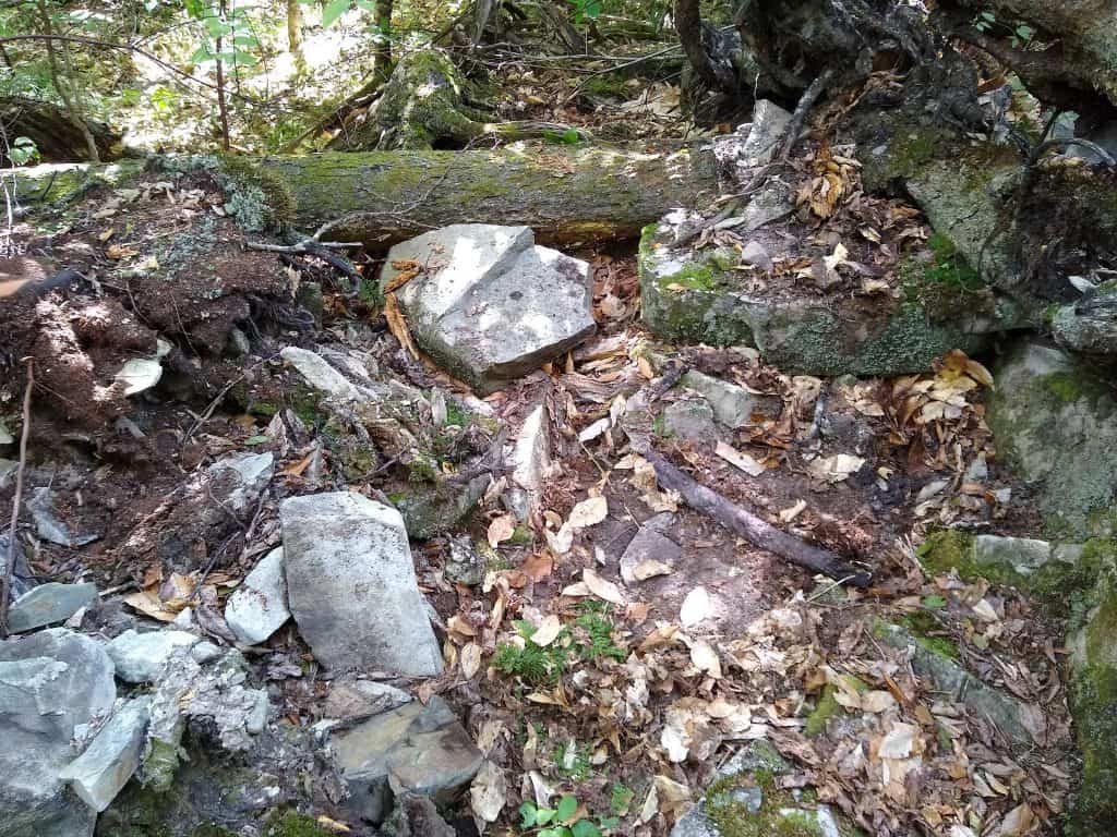
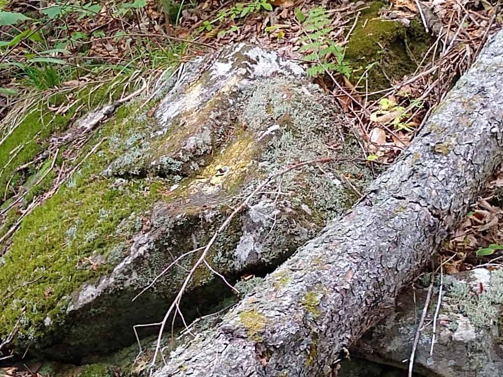
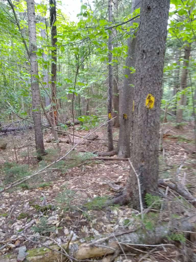
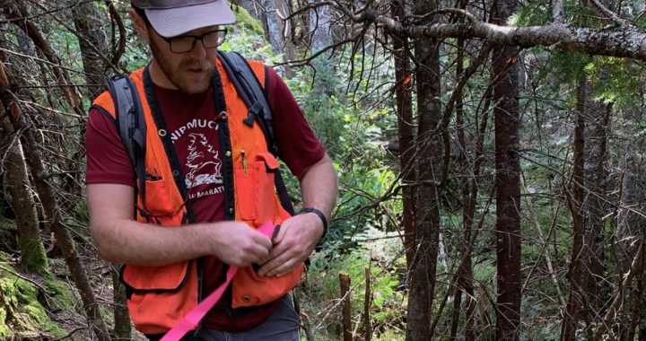
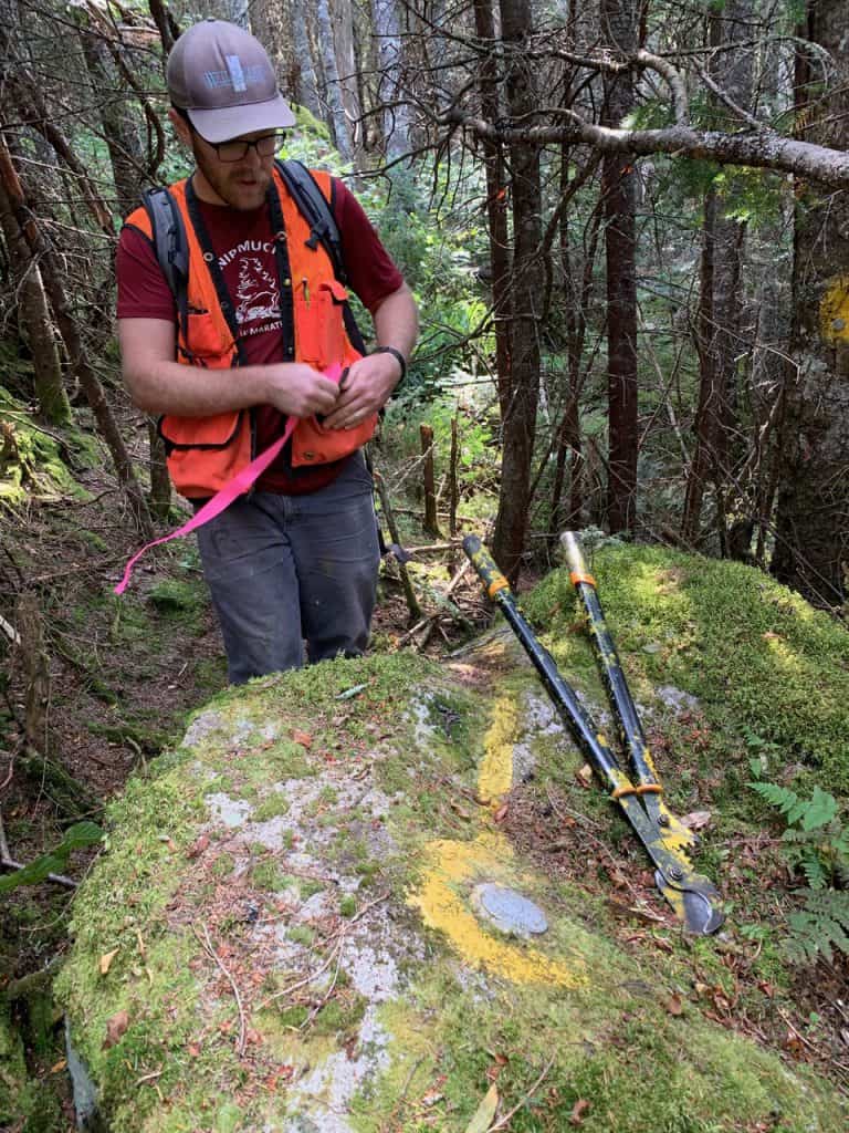
THE FALL IS AN IDEAL TIME FOR CORRIDOR MONITORING: Simon Rucker, Mike Mahony, Mary Eagan and Kayla Gagner are happy to find a boundary marker without any digging. This section of A.T. corridor is just south of Long Falls Dam road.
Photo by Tony Barrett

We received a nice note from a happy hiker….
I hiked from Gorham, NH to Caratunk, ME two weeks mid-Sept. and was very impressed at how well the trails were maintained. I was also impressed at how much planking there was along marshy areas, showing your respect of the underlying ecosystem. Please share my thanks to all the Trail Maintainers along these sections.
– LightWalker


The current White Brook trail is an official Appalachian Trail side-trail. It goes up the south side of White Cap Mountain. The trail itself is a remnant of the original AT when it went up the White Brook from the KI road. There is a steep, badly eroded section that is 3 feet deep in places. A relocation of this section has been approved for a couple of years. It will do a 900′ foot bypass to the West of the current section.

From Michelle Moody via MATC Facebook
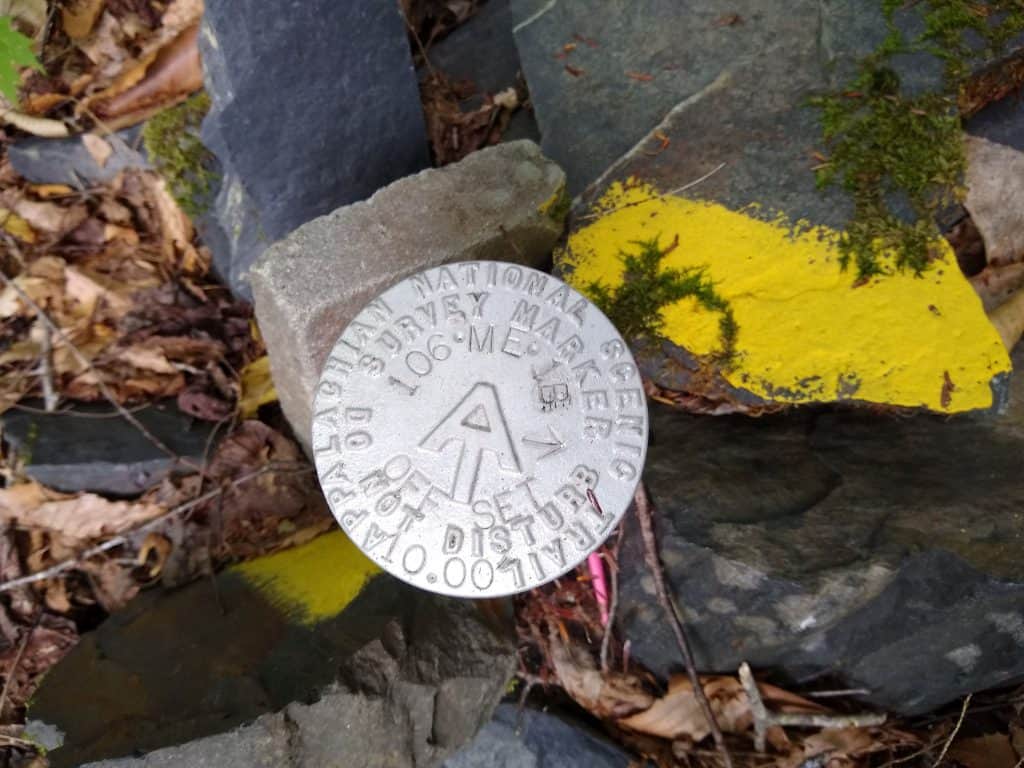
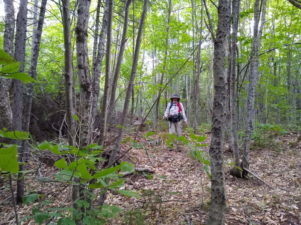
Corridor monitoring…What is that you ask…I call it a walk on the wild side. It means following the property boundaries of a property. In our case, the Appalachian Trail in Maine. We are responsible for a section from Big Wilson Stream to Long Pond Stream in the 100 Mile Wilderness. Sometimes you get great views and sometimes you just enjoy the little things nature has to share with you. It’s like going on a geocaching hunt except you are looking to follow the survey line and find monuments marking the line or corners. Some are well hidden, some you easily seen. If you enjoy a wild walk, this may be just the thing for you to join in on. Great isolation. If not on the AT, maybe with your local land trust. It’s a great way to give back to those trails you love. Click here for more info on MATC’s work in Maine.